Can You Cross the Cuckmere River at Low Tide? What the Official Guidance Actually Says
Crossing the Cuckmere at Low Tide
What the official bodies publish about the river mouth at Cuckmere Haven, why a tide table is not a safety guide, and the one crossing that works in every condition
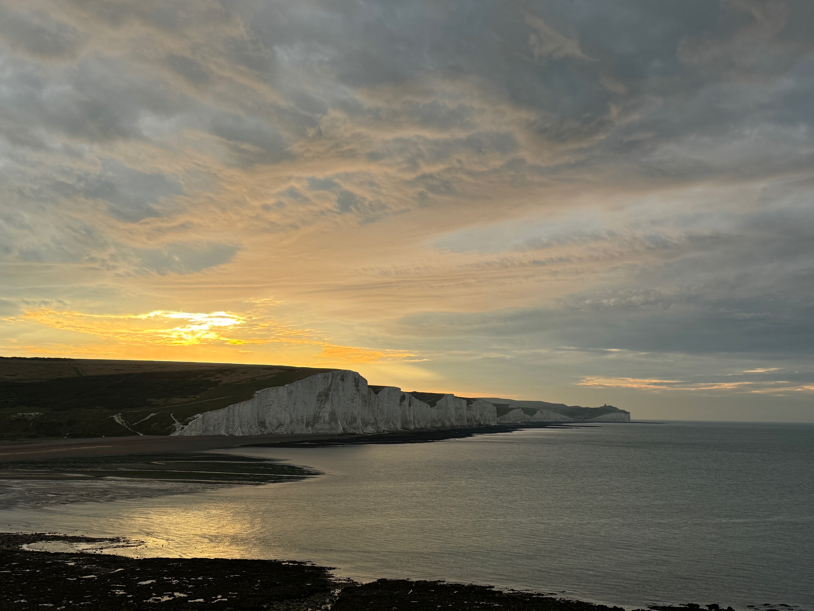
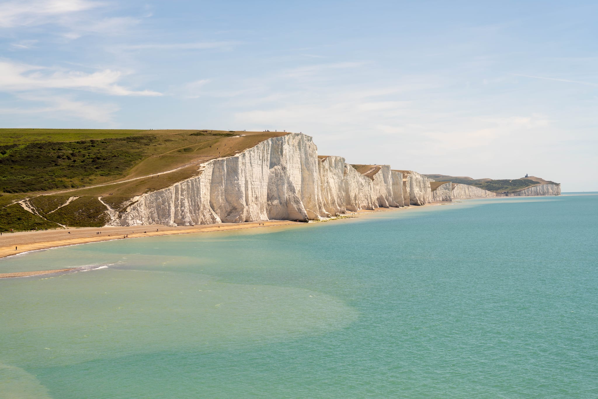
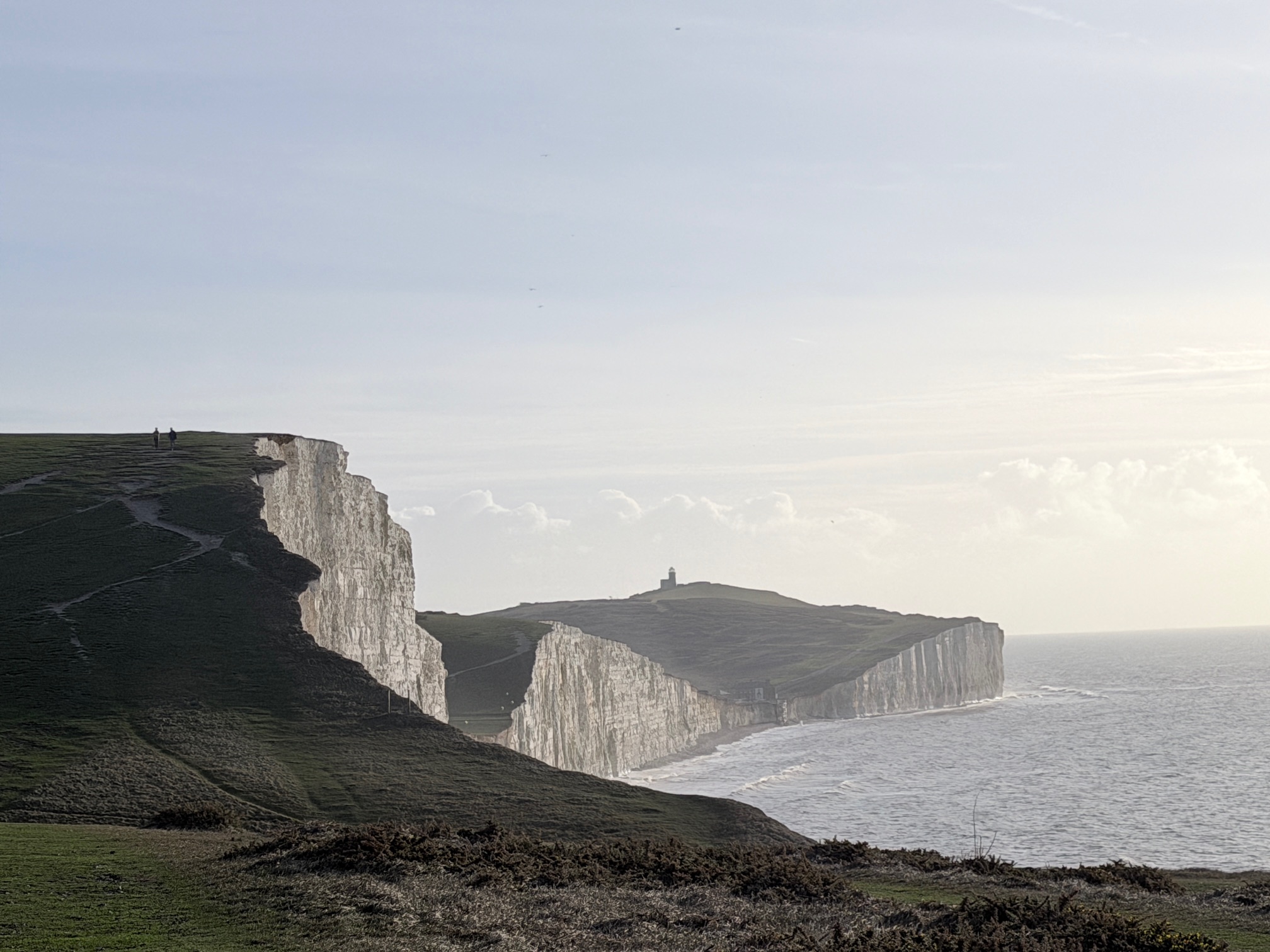
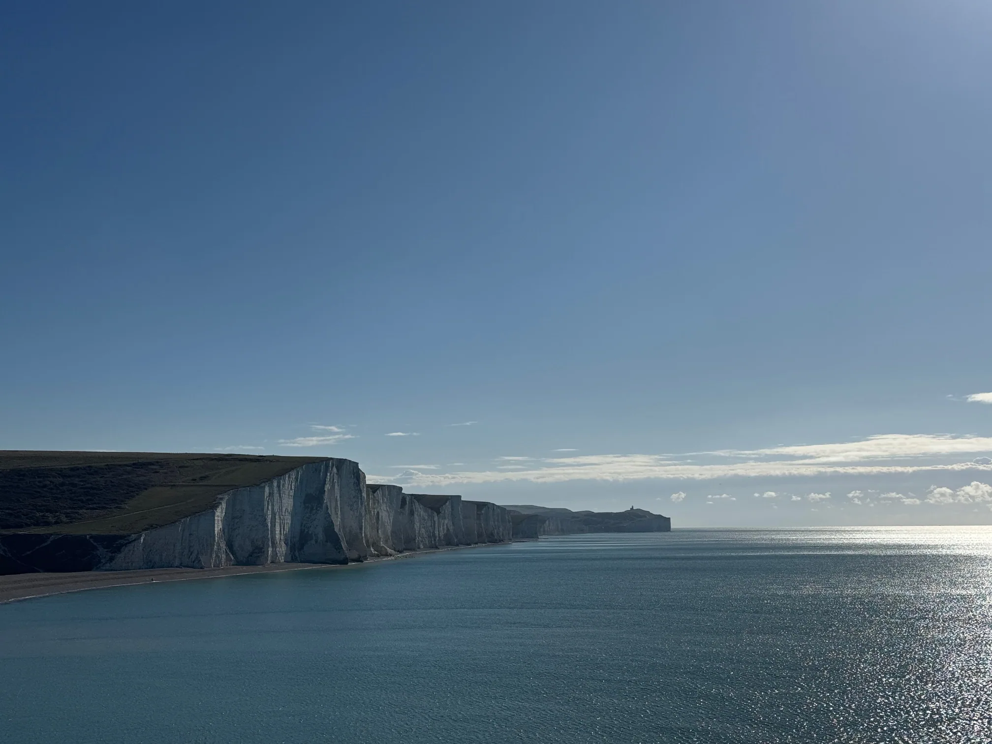
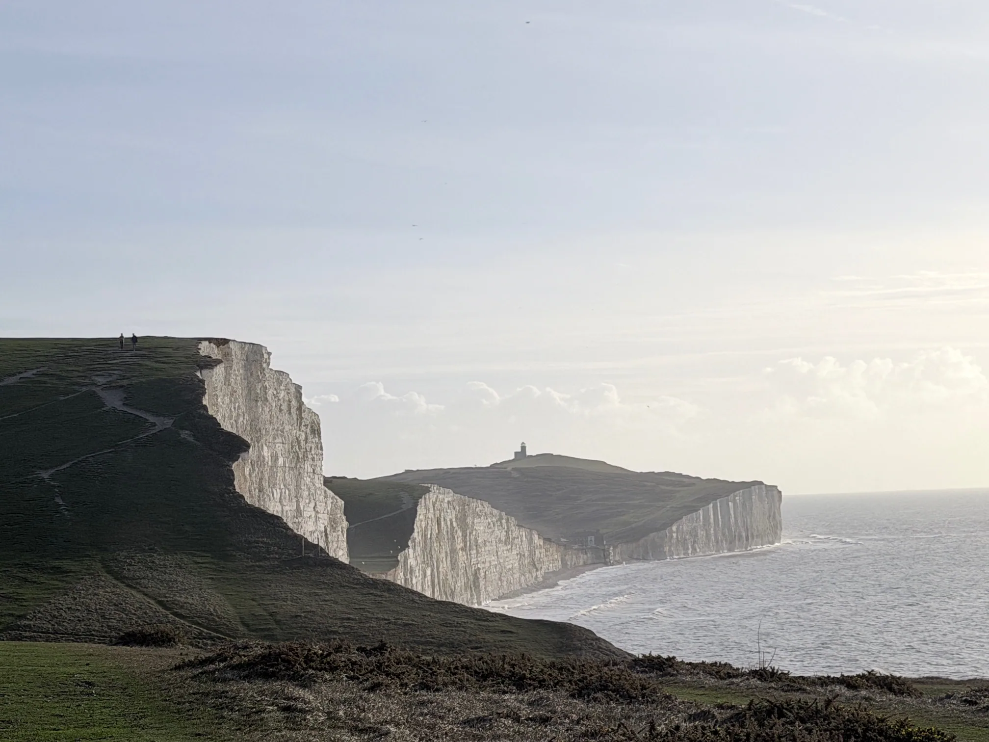
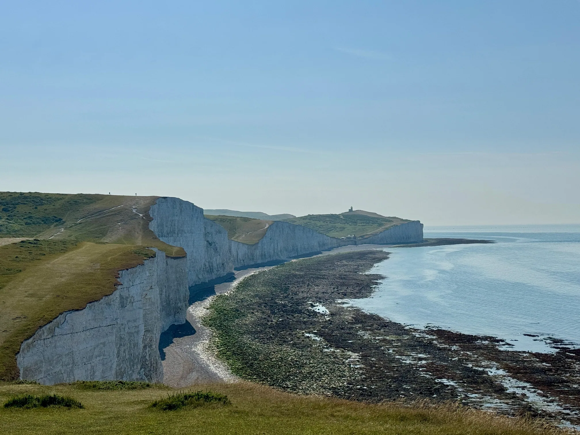
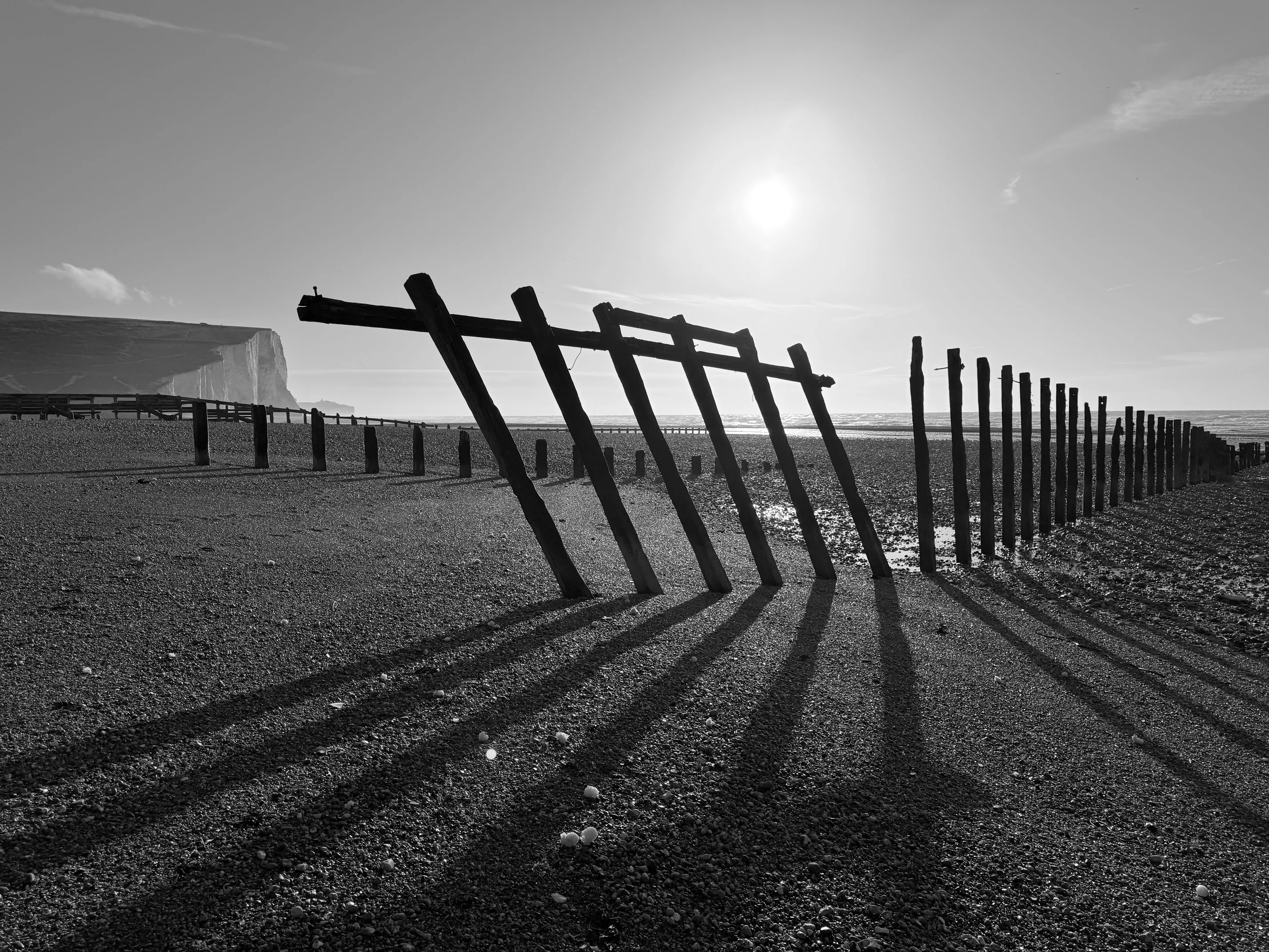
The Cuckmere river reaches the sea at Cuckmere Haven, directly between Seaford Head and Haven Brow, the first of the Seven Sisters. Anyone walking the coast from Seaford towards Birling Gap or Eastbourne arrives at the Coastguard Cottages on the west bank with the whole line of the cliffs in view and a tidal river between them and the first climb. On the map the far bank is a few hundred metres away. By the published route it is about an hour, because the walk goes inland to Exceat Bridge and back down the other side.
That gap between the map and the route is why the river mouth is one of the most searched questions about this walk: can it be crossed at low tide, and if so where and when. This post sets out what the organisations responsible for the site say, what makes the river mouth different from a beach, and how the crossing at Exceat Bridge works.
What the official guidance says
Seven Sisters Country Park is run by the South Downs National Park Authority, and its website carries a page dedicated to the river mouth, published jointly with HM Coastguard. Its position is that visitors are urged not to cross the fast-flowing currents at the mouth of the Cuckmere. It describes the water as deep and unpredictable where the river meets the incoming tide, notes that there are no lifeguards, and states that the river mouth should never be used as a footpath.
The park's Plan Your Visit page repeats the point in a sentence: crossing the river can be very risky because the currents could sweep a person out to sea. It names the route it wants walkers to take, which is the England Coast Path around the river, and it asks everyone to check tide times before setting out. The current pages are at sevensisters.org.uk.
There is no bylaw against crossing, no fence and no warden at the water's edge, so the guidance is advice rather than law. It is, however, the strongest form of advice a public body issues short of a legal prohibition, and it is the advice every route on this site follows.
Why the river mouth is not a beach
The beaches at Cuckmere Haven and Birling Gap are tide-dependent in a simple way: they are walkable for roughly two hours either side of low water and gone at high water, and the tide safety guide covers that rule. The river mouth does not behave like a beach, for four reasons.
- It is a river and a tide at the same time. The whole of the Cuckmere valley drains through a single gap in the shingle. Even at low water the river is still flowing out, and as the tide turns the sea pushes back in against it. The current reverses and it does so faster than the beach either side suggests.
- The depth is uneven and changes between visits. The channel through the shingle is not fixed. Storms, spring tides and a week of rain on the Weald all rearrange it, so a line that was shallow on one visit is not evidence about the next.
- The published low-water time is not measured here. Tide tables give predictions for a harbour along the coast, not for the river mouth, and they say nothing about swell, surge or how much fresh water is coming down the valley on the day.
- The water is cold in every month. The Cuckmere does not warm up in summer. A slip into a fast, cold channel while wearing a rucksack is a very different thing from a paddle on the beach.
Together these mean that no fixed crossing point and no fixed crossing time can be published as safe, which is why neither the Country Park nor this site publishes one. The tide rule that makes the beaches predictable does not transfer to the channel.
The only crossing: Exceat Bridge
The first crossing of the Cuckmere upstream from the sea is Exceat Bridge, the A259 road bridge beside the Cuckmere Inn and the Seven Sisters Country Park visitor centre. It is the crossing the England Coast Path uses, it is the crossing every one of the published Seven Sisters routes uses, and it is passable at high water, low water, in a winter flood and in the dark. There is no footbridge at the beach and there has never been one.
The route from the Seaford side
From the Coastguard Cottages, turn inland and follow the west-bank footpath up the valley with the river on the right, about 2 km on level ground, to the road at Exceat Bridge. Cross the bridge, pass the Cuckmere Inn, and at the visitor centre turn onto the concrete path that runs down the east bank to the beach, about 1.5 km. From the beach the path climbs straight up Haven Brow, the highest of the seven at around 77 m. The Exceat page covers the car park, visitor centre and bus stop, and the Cuckmere valley circular describes both bank paths in detail.
What the detour costs
The inland loop is roughly 4 km, about an hour at an ordinary pace on flat, easy paths, against the few hundred metres a beach crossing would take. On the full 21.9 km Seaford to Eastbourne traverse that hour is already inside the published distance and the 6 to 7 hour walking time, so anyone planning from the route pages has budgeted for it. The loop also passes the toilets, the cafe and the pub at Exceat, the only facilities on the route between Seaford and Birling Gap.
Planning around the river
- Treat the bridge as part of the walk, not a diversion from it. The valley section is the flattest, most sheltered stretch of the whole route and the only place to refill water before Birling Gap.
- Check the tide for the beaches, not for the river. Low water is what makes the shingle at Cuckmere Haven and Birling Gap safe to walk; it is not a signal that the channel is safe to cross. Today's tide times are on the visit planner.
- Do not plan a return across the river. Anyone who reaches the east bank by the beach and finds the channel changed has a long walk back to the bridge; every published route avoids that situation by using the bridge in both directions.
- If someone is in difficulty in the water, do not go in after them. Call 999 and ask for the Coastguard. Signal in the valley floor and on the beach is patchy, so move to higher ground if a call will not connect; the phone signal page maps where it works.
Plan the walk on the official route
The route planner compares all four graded Seven Sisters routes, every one of them crossing at Exceat Bridge, and the tide safety guide explains how the beaches behave through the tidal cycle. Check the Seven Sisters Country Park website for current safety notices before setting out.
Planning the walk itself?
Four routes run along these cliffs and they are not interchangeable — a flat 3km riverside stroll, the classic 6.5km Exceat to Birling Gap crossing, a short Birling Gap loop, and the full 21.9km Seaford to Eastbourne ridge. Compare distance, ascent and difficulty before you pick one.
- Easy Birling Gap Short Loop 2 km 45 min
- Easy Cuckmere Haven Beach 3 km 1 hour
- Moderate Exceat to Birling Gap 6.5 km 2-3 hours
- Challenging Seaford to Eastbourne 21.9 km 6-7 hours
We may earn a small commission on bookings made through this link, at no extra cost to you. More info.
£4.99 · 24-page PDF · Instant download
The Seven Sisters Ultimate Guide
The complete 24-page companion built from first-hand walks — every cliff, all four graded routes, tide windows and a parking strategy. Designed to work offline, right on the cliff top.
- All 7 cliffs — heights, geology & viewpoints
- Four graded walking routes, compared
- Tide windows, light calendar & day plans
- Parking strategy & seasonal planner
Just want the basics? Download the free 2-page walk guide
Want an expert-led Seven Sisters tour?
From guided cliff walks and wildlife safaris to geology hikes and photography tours — explore all our curated experiences with local guides.