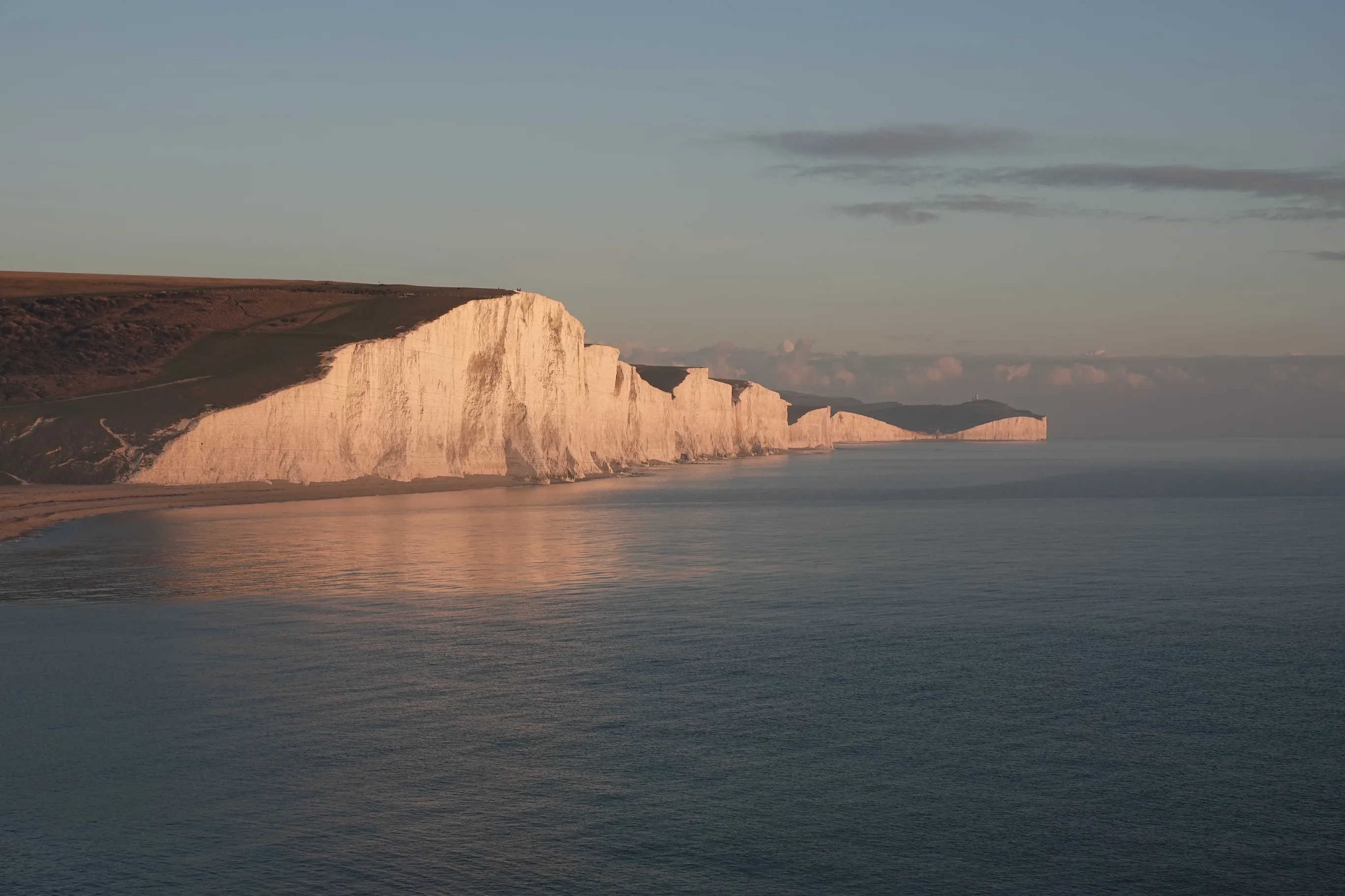
Seven Sisters Cliff Collapse Risk Explained: Why the Edge Is More Dangerous Than It Looks
The warning signs at Birling Gap and Cuckmere Haven tell visitors to keep away from the cliff base. Most people read them the same way they read a car park's "not responsible for loss or damage" notice — as legal boilerplate, hedging, something to acknowledge and move past. They are not. They are specific warnings about a specific mechanism that kills people on chalk cliff coastlines with some regularity.
Understanding why chalk cliffs collapse — the actual geology, the timescales, the triggers — changes how you read the signs. And it changes how you behave near them.
This guide covers the mechanics of cliff collapse at Seven Sisters: what causes it, why it happens without warning, what makes certain seasons more dangerous, and what the practical safe behaviour actually looks like. It covers both the top of the cliff and the base of the cliff, because both present real and distinct risks.
Quick Answer: Why Do Chalk Cliffs Collapse?
- Wave undercutting: The sea erodes the cliff base faster than the top, creating an unsupported overhang that eventually fails under its own weight.
- Water infiltration: Rainwater seeps into joints and cracks, saturating the chalk and reducing its structural strength.
- Freeze-thaw cycles: Water in cracks expands on freezing, forcing the cracks wider with each cycle.
- Invisible internal fractures: The chalk can be structurally compromised far from any visible surface crack.
- Collapses are unpredictable: There is typically no surface warning — no cracking sound, no visible movement — before a section falls.
The Geology of Seven Sisters Chalk
The Seven Sisters cliffs are made of pure white chalk — calcium carbonate formed from the compressed remains of microscopic marine organisms deposited when this part of England lay beneath a warm, shallow sea around 85 million years ago. The chalk is soft, porous, and laid down in near-horizontal beds separated by thin layers of clay and flint.
Those horizontal beds matter. The chalk is not a solid homogeneous block but a layered structure, and each layer boundary is a potential failure plane. Water travels differently through different chalk layers. Flint bands can deflect water horizontally. Clay layers can become saturated and lose cohesion. The chalk itself, while hard when dry, weakens significantly when wet and saturated.
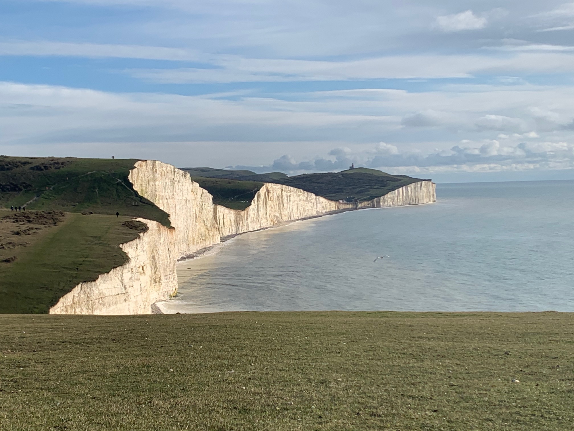
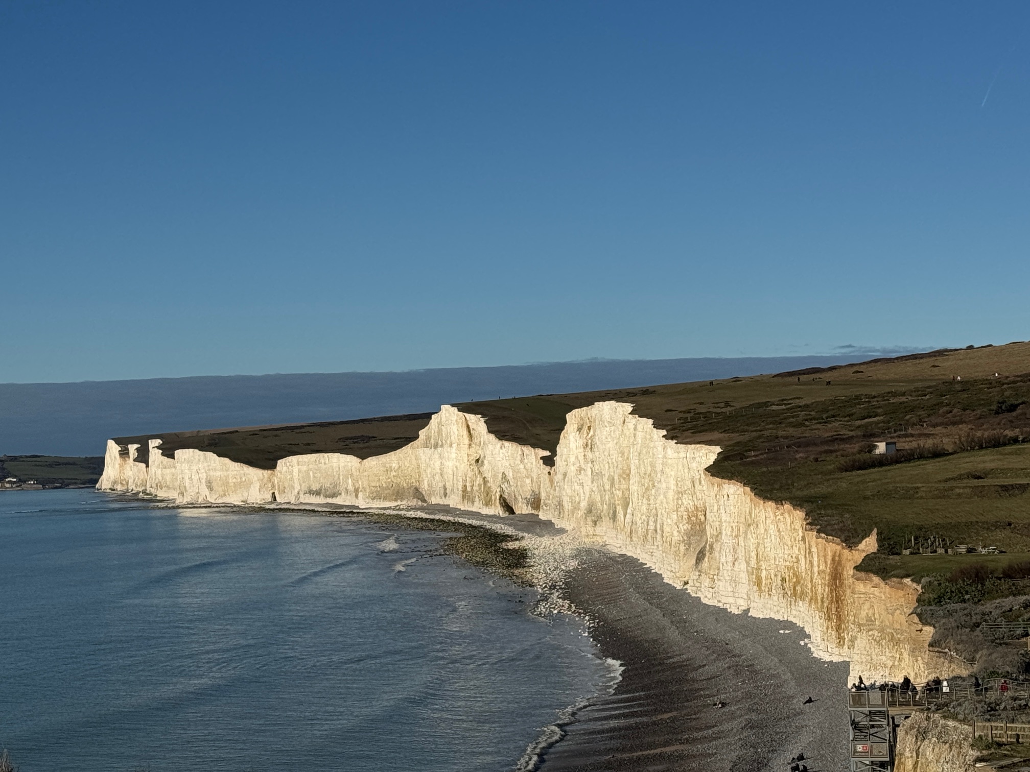
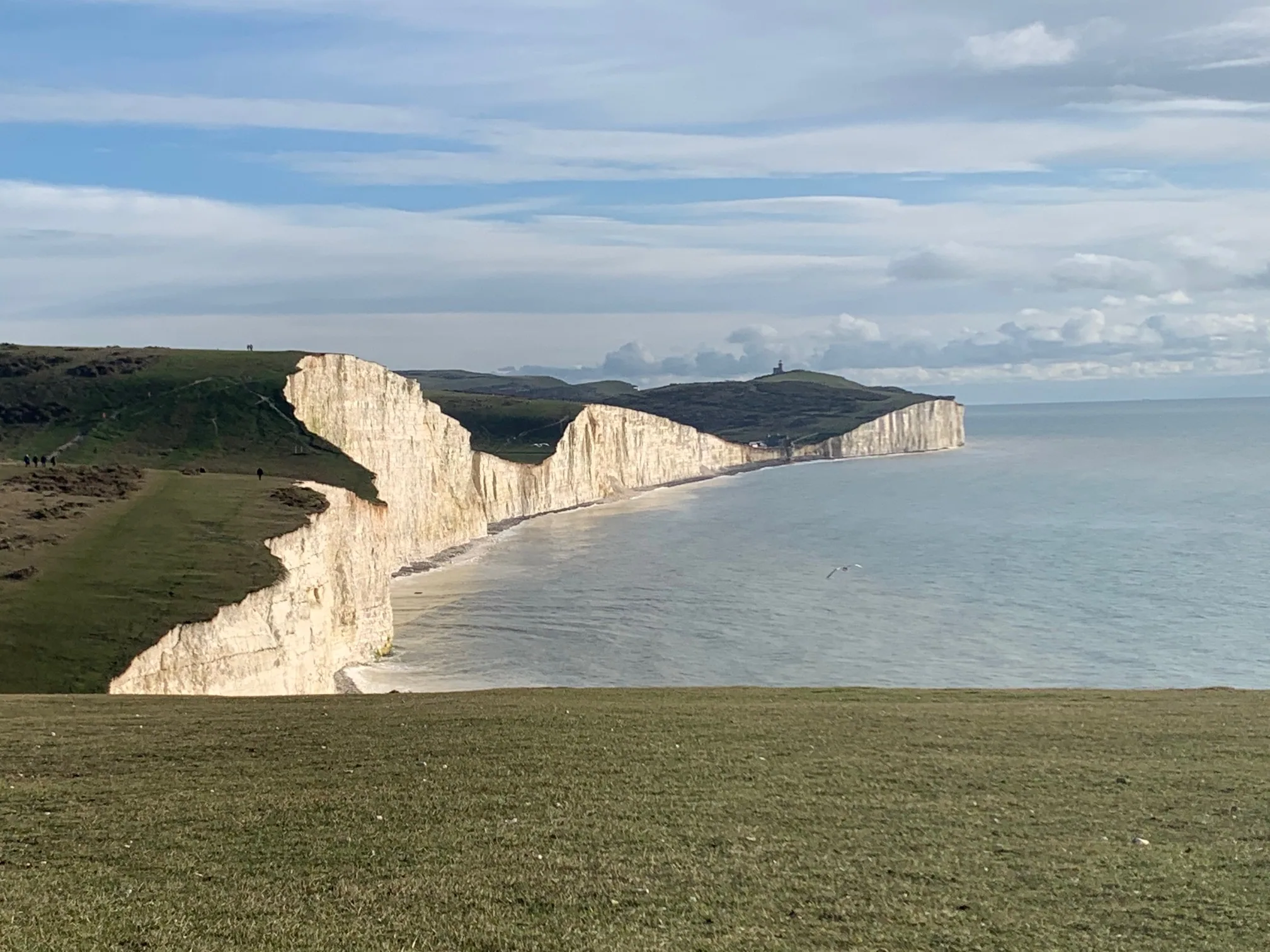
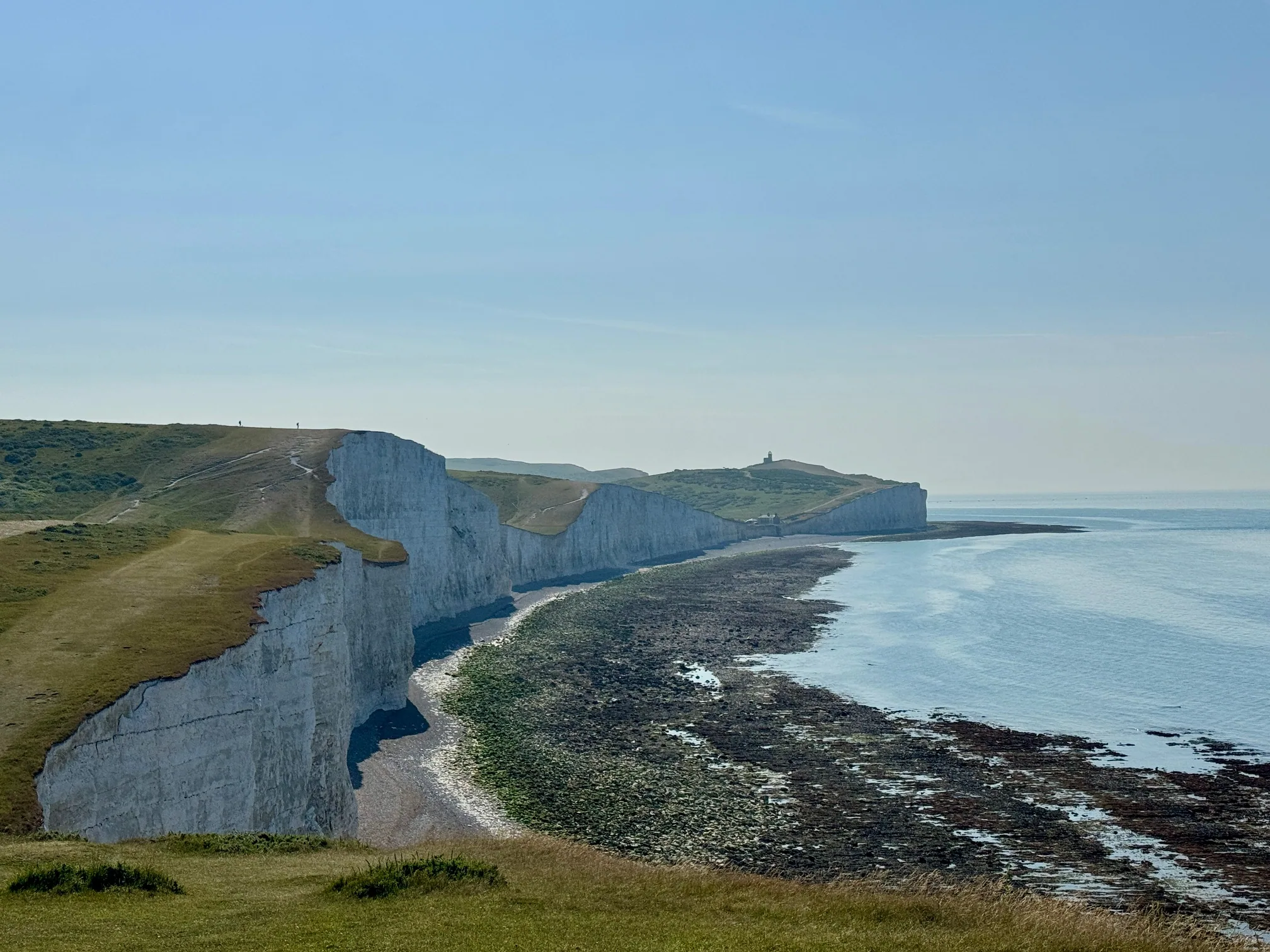
The visible white face of the cliff is actively eroding — the bright white colour is freshly exposed chalk, renewed continually by erosion. The grey-green discolouration visible on sections that have not recently collapsed is algae, growing on chalk that has been exposed long enough for biological colonisation. The whiteness of the Seven Sisters is, in this sense, a direct measure of how actively they are eroding.
How Wave Undercutting Works
The primary mechanism driving collapse at the base of the cliff is undercutting by wave action. Waves — particularly during winter storms — concentrate enormous hydraulic energy at the point where they meet the cliff face at sea level. The impact is not a smooth erosion but a repeated percussion: water at high pressure forced into every joint and crack in the chalk, hydraulic wedging that widens cracks with each wave.
Over time this creates a notch at the base of the cliff. The chalk above the notch is progressively unsupported. The notch deepens. Eventually the unsupported overhang reaches a point where it can no longer support its own weight and it collapses.
The key characteristic of this process: the overhang can look completely intact and stable from below for years before failing. There is no visual indicator from the beach of how structurally compromised an overhang is. A section of cliff that has stood unchanged for five years may be one winter storm from collapse. A section that looks identical to the rest of the face may fail first.
This is why "it looks solid" is not a safe assessment. The structural condition of a chalk overhang is not readable from visual inspection.
Invisible Cracks and Internal Fractures
Beyond the visible face of the cliff, the chalk contains an internal network of joints — vertical and horizontal fractures formed during the geological history of the rock. These joints are not necessarily visible from the surface. Water moves through them preferentially, weakening the chalk from the inside.
A section of cliff top that appears to be solid turf set back from the obvious edge may have a joint system running beneath it that has been progressively widened by water. The void below the surface turf can be considerable. Walking on ground that looks solid, 2 metres back from the visible edge, does not guarantee that there is structural chalk beneath you.
The National Trust's 5-metre rule is not arbitrary. It reflects the understanding that surface appearance is not a reliable guide to structural integrity — the minimum safe distance is set to keep walkers beyond the zone where internal fracture systems regularly produce surface collapses.
The Role of Rainfall in Cliff Collapse
Chalk is highly porous — it absorbs water readily and releases it slowly. During prolonged rainfall, the chalk becomes progressively saturated. Saturated chalk is significantly weaker than dry chalk: water in the pore structure reduces the cohesion between chalk particles and adds weight.
The most dangerous period for cliff collapse is not during heavy rain but in the days and weeks immediately following it. The chalk has absorbed water, the internal joint systems are saturated, and the added weight of the water content increases the stress on any structurally compromised sections. Combined with continuing wave action at the base, this post-rain period is when large collapses are most likely.
A practical implication: if you visit shortly after prolonged wet weather, the cliff system is more active than usual. Fresh bright white chalk on the beach — angular and unweathered, contrasting with the older grey material — is a direct indicator that a section above it has recently collapsed. Give extra margin to sections showing fresh fall debris.
Freeze-Thaw Cycles
Water expands by approximately 9% when it freezes. In chalk with an established internal joint system, water trapped in joints and cracks freezes in cold weather, expanding against the chalk on all sides. When the temperature rises again, the ice melts — but the crack is now fractionally wider than before. Over multiple freeze-thaw cycles, this mechanical process widens internal fractures progressively.
Winter and early spring — when temperatures regularly cross the freezing threshold overnight — are the high-risk periods for freeze-thaw damage. A section of chalk that has undergone 20 or 30 freeze-thaw cycles during a cold winter is structurally weaker than it was in October. Combined with the saturation effects of winter rainfall and the increased wave energy of winter storms, the winter-to-spring period is when large collapses are most common at Seven Sisters.
This does not mean summer is safe. Freeze-thaw weakens the chalk progressively and collapses do not always follow immediately. A section weakened over winter can fall in August. Chalk cliff collapse is not governed by a timetable.
Why Collapses Cannot Be Predicted
The question we are asked most often is: why can't the collapses be predicted? The answer is that the key variables — the extent of internal fracture systems, the degree of saturation within the chalk, the exact geometry of undercutting at the base — are not measurable without intrusive survey work at every section of every cliff. And even with survey data, the precise threshold at which a compromised section will fail is not determinable in advance.
Seismic monitoring can detect very large structural events. Thermal imaging can indicate internal voids in some conditions. But these techniques, applied across 8 kilometres of active chalk cliff, give a probabilistic picture, not a schedule. "This section is at higher risk than average" is the most specific assessment generally possible. "This section will fall on this date" is not achievable with current technology.
This is the fundamental reason the safety rules exist as they do. In the absence of predictability, safe distance is the only reliable mitigation. You cannot know when a section will fall. You can be far enough away that it doesn't matter when it does.
The Coastal Erosion Rate at Seven Sisters
Seven Sisters chalk cliffs erode at approximately 30–50 centimetres per year — averaged across the whole system. This is one of the fastest erosion rates on the English chalk coastline. The average conceals the reality: most erosion does not happen gradually. It happens in sudden, large collapses separated by periods of relative stability.
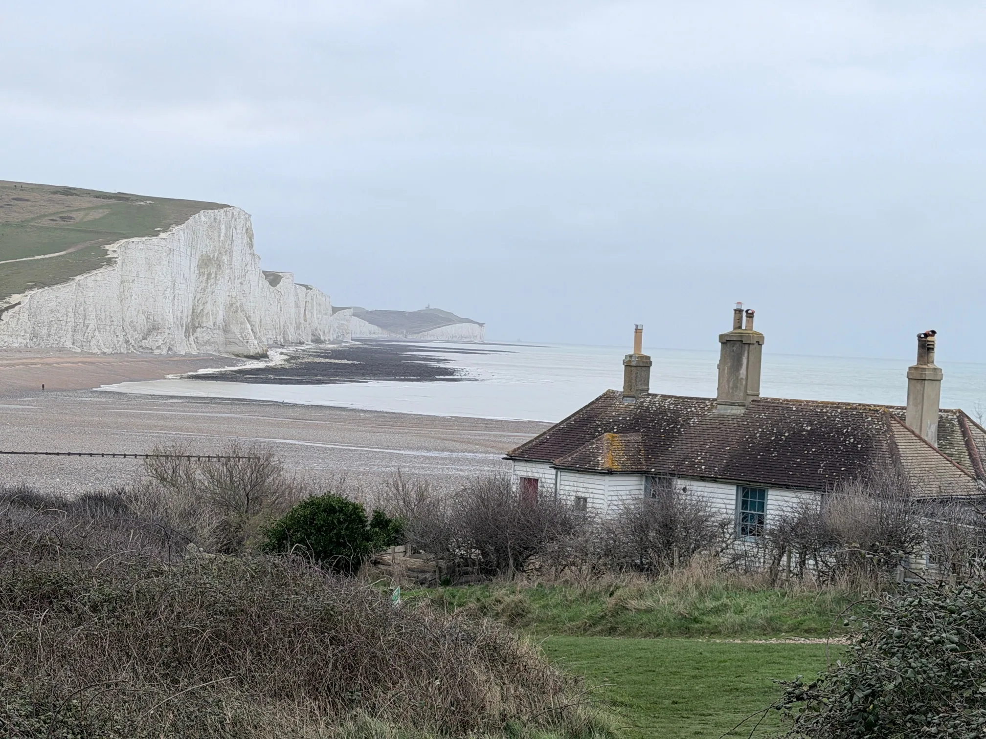
The coastguard cottages at Birling Gap are the most visible illustration. Three cottages have been demolished or fallen into the sea since 2014. The cottages were not built at the cliff edge. They were built with appropriate setback for their era. The cliff edge came to them as the cliff retreated. The rate of retreat is not theoretical — it is directly measurable in the buildings that no longer exist.
Further west, the ongoing erosion at Seaford Head and around Cuckmere Haven shows the same pattern: stable-looking sections that suddenly lose significant material in a single event. The valley at Cuckmere, the meanders visible from the ridge, the beach access — all of these are in a slowly but continuously changing landscape.
Why Fences Are Not the Answer
The absence of continuous fencing along the Seven Sisters cliff top is not an oversight or a failure of management. It reflects both practical and conservation realities.
Practically: the cliff edge is not a fixed line. A fence positioned at the appropriate safe distance from the current cliff edge will, within a few years, need repositioning as the cliff retreats. Installing, maintaining and repositioning fencing across 8+ kilometres of actively eroding coast is a continuous and expensive undertaking with limited safety benefit if walkers treat the fence as the edge rather than the safe point.
From a conservation perspective: Seven Sisters is a Site of Special Scientific Interest (SSSI), a National Nature Reserve, and part of the South Downs National Park. The geomorphological process of active cliff erosion is part of what is being conserved. The dynamic beach, the self-renewing white face, the ongoing chalk habitat — these all depend on the erosion continuing. Fencing off sections and attempting to slow erosion through engineering would conflict with the conservation objectives of the area.
The management approach is therefore signage, education, and path positioning — keeping the marked path at a safe distance from the edge and relying on walker responsibility for the rest.
Photography Dangers at the Cliff Edge
Photography is consistently identified as a factor in cliff edge incidents at Seven Sisters. Not because photography itself is dangerous, but because the desire for a better shot creates a systematic incentive to approach the edge more closely than is safe.
The logic is understandable: the view is better from the edge. The composition improves. The drop looks more dramatic. The urge to get a few metres closer is natural.
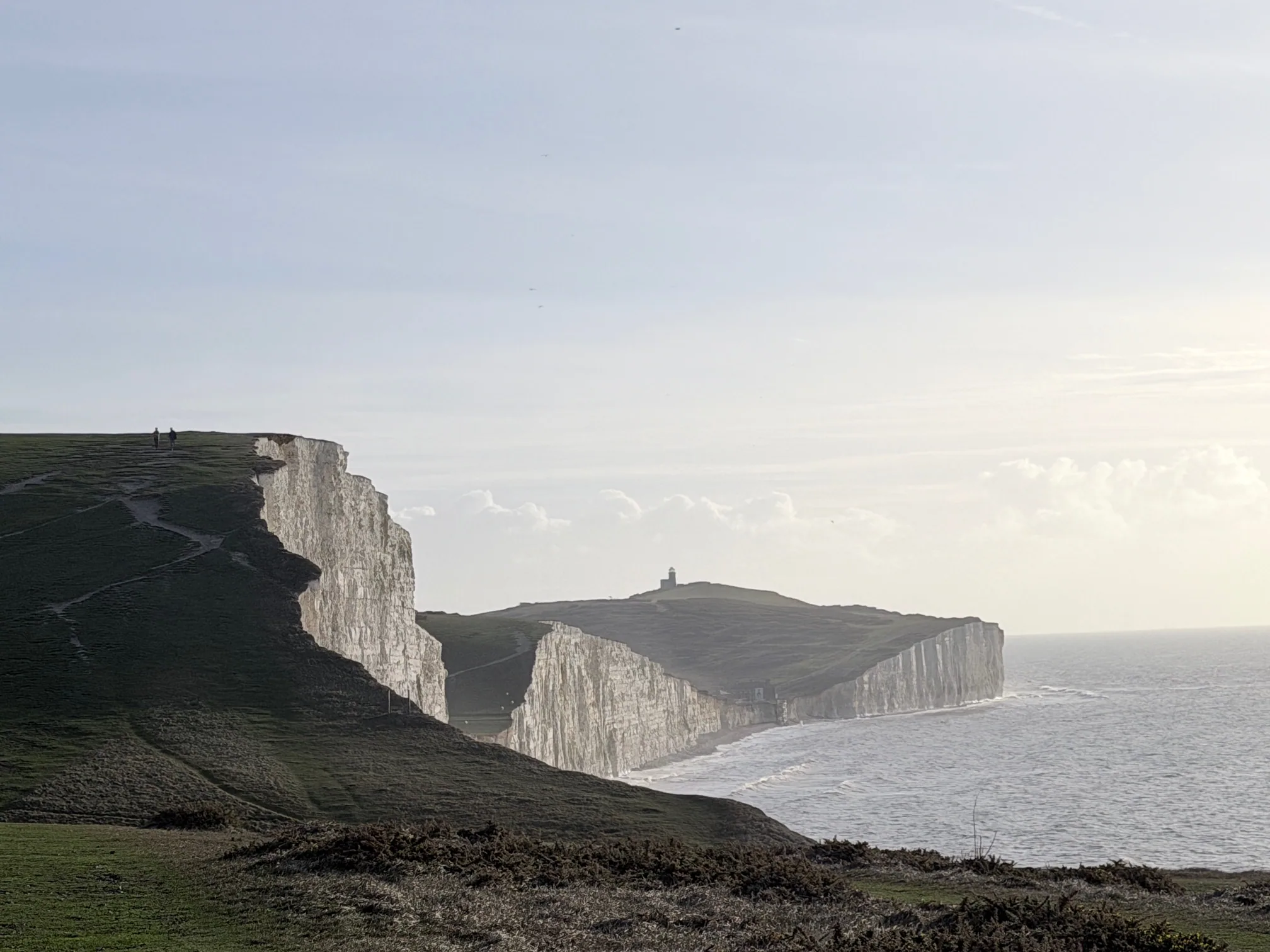
The counterargument is threefold. First: the best known photographs of Seven Sisters — the images used in tourism campaigns, on book covers, in landscape photography exhibitions — are taken from well back on the path, from the beach below, or from a distance across the valley. The cliff-edge viewpoint produces a foreshortened view, not a better one. Second: your feet are not the only thing near the edge. Your weight shifts toward the cliff when you lean to look over. The added biomechanical pressure of bending toward the edge increases the force on the chalk at exactly the most compromised point. Third: if the chalk gives way while you are at the edge, there is no reaction time.
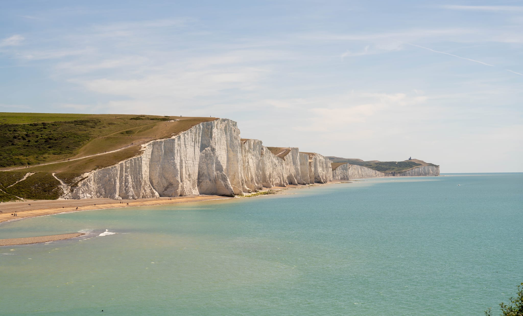
The beach at Birling Gap at low tide gives an extraordinary upward view of the chalk face — the full scale of the cliffs, the white faces, the overhang geometry — with zero safety risk. If you want to understand the cliffs visually, this is where to stand.
Common Tourist Mistakes — and What They Actually Risk
These are the behaviours most commonly observed at Seven Sisters that put people at genuine risk. None of them are unusual or malicious — they are the normal responses of people who haven't fully understood what the cliff is doing.
Approaching the edge for selfies. The same logic as photography: the image is not better for being closer, and the risk is significant. Dozens of cliff incidents in the UK each year involve people approaching the edge for photographs. Some are fatal.
Sitting with legs over the edge. Seen regularly on social media and in person. The posture shifts weight toward the edge, compresses the chalk at the most vulnerable point, and eliminates all reaction time if the edge gives way. The visual impression — legs dangling, casual pose — is at complete odds with what is structurally happening.
Standing at the cliff base to shelter from wind. The base of the cliff feels like shelter. It is effectively a wall. The impulse to stand against it is entirely natural. The cliff base at Seven Sisters is where cliff falls land. Standing against the cliff base for any reason — shelter, shade, photography — puts you in the debris zone.
Allowing children to run near the edge. Running children have unpredictable paths. Near the cliff edge, an unexpected stumble or a sudden change in direction toward the edge has different consequences than it would on flat ground away from it. Children near the cliff edge need to be within arm's reach.
Assuming fresh-looking sections are safer. The chalk that looks freshly white and solid is often more recently active, not less. Fresh white chalk that has not yet weathered to grey may be a recent collapse face — the section above it may be in the immediate post-collapse adjustment period, with secondary falls more likely.
Safe Viewing Distances — Practical Guidance
On the cliff top: stay at least 5 metres from the visible edge. On soft, crumbly or obviously disturbed ground near the edge, go further. The 5-metre rule is a minimum, derived from the understanding of how far back internal fracture systems typically extend from the visible edge. Treating 5 metres as a target ("I'm at 5.1 metres so I'm fine") is misusing the rule. Treat it as an absolute minimum and apply more distance wherever conditions allow.
On the beach: stay well away from the cliff base. The debris zone from a medium fall — 20–30 tonnes of chalk — extends approximately 10–20 metres from the cliff base. A large fall extends further. The beach at Birling Gap and Cuckmere Haven at low tide is entirely enjoyable and completely safe if you stay in the open, away from the cliff face. The cliff base is not where you want to be, regardless of how stable it looks.
If you hear a cliff fall nearby on the beach, move away from the cliff immediately. Do not approach to look at the debris. Secondary falls — smaller sections destabilised by the primary event — are common in the minutes and hours after a significant collapse.
Seasonal Risk Summary
Winter (December–February): Highest risk period for large collapses. Atlantic storm wave energy is at its peak, freeze-thaw cycling is most frequent, rainfall is heaviest, and the chalk is most saturated. Daylight is limited to 8 hours, and walking in poor conditions reduces your ability to read what is happening around you.
Spring (March–May): Elevated risk. The accumulated weakening from winter rainfall and freeze-thaw produces collapses that the winter conditions set up but that actually fall in spring as temperatures rise and the chalk adjusts. Fresh white chalk on the beach in March to May often reflects winter-triggered collapse events.
Summer (June–August): Lower collapse risk but not zero. Heat dries and contracts the chalk, sometimes opening surface cracks. The beach is at its most popular — the consequences of a collapse are potentially worse simply because more people are present.
Autumn (September–November): Moderate risk. The first autumn storms reactivate wave undercutting after the calmer summer months. Rainfall returns and the saturation process restarts.
Safe behaviour does not vary by season. The 5-metre cliff-top rule and the stay-away-from-the-cliff-base rule apply in July as they do in January. What changes seasonally is the probability of a large event occurring — not what you do about it.
The simple version: The cliff edge at Seven Sisters is not a viewpoint. It is a geological hazard at the edge of an actively eroding chalk cliff that collapses without warning. Stay 5 metres back at all times. If you are on the beach, stay away from the cliff base. These rules exist because the alternative — waiting to see if the chalk holds — is not a risk worth taking.
Related Guides
For a first-hand account of witnessing a cliff fall from the beach, see what a chalk cliff fall sounds and looks like up close. For the geology of how these cliffs formed, see our chalk cliff geology guide. For the Belle Tout lighthouse story — the clearest illustration of how much cliff has been lost — see Belle Tout and cliff erosion. For full cliff edge safety rules, see cliff edge safety.
Planning the walk itself?
Four routes run along these cliffs and they are not interchangeable — a flat 3km riverside stroll, the classic 6.5km Exceat to Birling Gap crossing, a short Birling Gap loop, and the full 21.9km Seaford to Eastbourne ridge. Compare distance, ascent and difficulty before you pick one.
- Easy Birling Gap Short Loop 2 km 45 min
- Easy Cuckmere Haven Beach 3 km 1 hour
- Moderate Exceat to Birling Gap 6.5 km 2-3 hours
- Challenging Seaford to Eastbourne 21.9 km 6-7 hours
We may earn a small commission on bookings made through this link, at no extra cost to you. More info.
£4.99 · 24-page PDF · Instant download
The Seven Sisters Ultimate Guide
The complete 24-page companion built from first-hand walks — every cliff, all four graded routes, tide windows and a parking strategy. Designed to work offline, right on the cliff top.
- All 7 cliffs — heights, geology & viewpoints
- Four graded walking routes, compared
- Tide windows, light calendar & day plans
- Parking strategy & seasonal planner
Just want the basics? Download the free 2-page walk guide
Want an expert-led Seven Sisters tour?
From guided cliff walks and wildlife safaris to geology hikes and photography tours — explore all our curated experiences with local guides.